Resource Center

Understanding the process behind the plat

Straight answers to the questions we hear most from landowners, builders, and developers across the Hill Country — what these projects actually involve, and where Wellborn fits in.

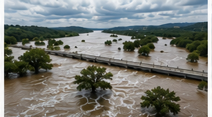
Aerial view of floodwater along a Hill Country creek crossing

Floodplain & Drainage

Understanding Floodplain Development

Building near a Hill Country creek or river starts with FEMA's Flood Insurance Rate Map (FIRM) — but flash-flood terrain like ours changes faster than federal maps get updated. The first real step is evaluating current floodplain data against the Special Flood Hazard Area (SFHA) and Base Flood Elevation (BFE) shown for your property, then gathering updated, on-the-ground topographic survey data to see how the site actually behaves in a storm event, not just how an outdated model predicts it will.

From there, development moves through permitting with the local floodplain administrator — the county or city office responsible for enforcing Texas Local Government Code Chapter 232 floodplain regulations. Depending on the site, that can include a Letter of Map Amendment (LOMA) or Conditional/final Letter of Map Revision (CLOMR/LOMR) if grading or fill will change the mapped floodplain. Once construction wraps up, the project closes out with an as-built survey and a FEMA Elevation Certificate — the document your lender, insurer, and building official will all eventually ask for.
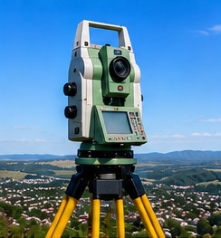
Total station survey equipment set up for construction staking

Construction Support

Preparing for Construction Staking

Staking runs on control, not guesswork. Before a crew can set a single stake, we establish site control — horizontal and vertical benchmarks tied to a known datum that every trade on the job, from the grading contractor to the plumber, references off the same numbers. That control only means something once we're working from the final, approved (stamped) civil plans, not an earlier working draft that changed in review.

From there, staking covers whatever the phase of construction calls for: building corners and setbacks, road centerlines and curb lines, utility trench alignments, grading and slope stakes, and drainage structure locations. As slabs come up, we also perform form board surveys — verifying that formwork dimensions and elevations match the approved plan before concrete gets poured, when a correction is still cheap to make.

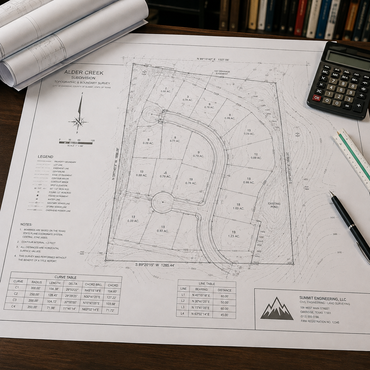
Boundary survey plat drawing on a desk

Surveying Explained

Boundary Survey vs. Land Title Survey

A boundary survey answers one question: where are the property lines? We research the deed history, recover or reset the corner monuments, and retrace the boundary so it holds up if a neighbor ever disputes it. That's the survey most landowners think of first — and it's often all that's needed for a simple sale or fence line.

An ALTA/NSPS Land Title Survey is a different deliverable, typically required by a title company or lender before they'll issue title insurance on a commercial or financed transaction. It starts with the same boundary work, then adds everything the boundary alone doesn't show: buildings and other improvements, easements, encroachments, flood zone designation, parking counts, and zoning setbacks — the specific items negotiated up front as "Table A" on the ALTA/NSPS standard. If a lender or title company is involved, ask which survey they actually require before you order one.

Aerial view of a Hill Country residential subdivision

Land Development

What to Expect During a Subdivision Plat

Turning raw acreage into sellable lots follows a fairly consistent sequence. It starts with a topographic survey establishing existing ground conditions, boundary, and easements. Civil engineering plans follow — grading, drainage, road, and utility design built around what that topo showed. In Hill Country terrain, a drainage analysis (hydrologic and hydraulic modeling) is almost always the long pole in the process, since flash-flood behavior drives lot layout and detention requirements as much as the boundary does.

With engineering in hand, the project moves through regulatory approvals — county or city review under Texas Local Government Code Chapter 232, TCEQ where applicable, TxDOT if the development touches a state road, and OSSF (septic) design in areas without sewer service. Most jurisdictions require a preliminary plat first, followed by a final plat once conditions are satisfied. The process closes with the final plat recorded and filed with the county clerk — the step that actually creates the new, legally sellable lots.

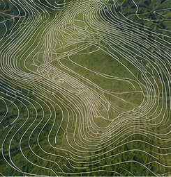
Topographic contour data captured by drone LiDAR mapping

Technology & Methods

Drone Mapping vs. Traditional Surveying

Drone photogrammetry and LiDAR are the right tool when a project needs fast, dense coverage of a large or hard-to-access site — ranch acreage, quarry volumes, or terrain too steep and brushy to walk efficiently. A single flight can generate an orthomosaic and a detailed surface model across hundreds of acres in a fraction of the time ground crews would need, which is why it's become standard for early-stage topographic mapping and volumetric measurement.

What a drone can't do is replace survey-grade precision at the points that matter most legally and structurally: property corners, easement lines, and construction control. Those still require ground-based GNSS and total station work tied to recovered monumentation and a verified datum. In practice, the two methods are complementary rather than competing — we fly a site to map it fast, then put boots on the ground where accuracy has to hold up in a deed or a foundation pour.

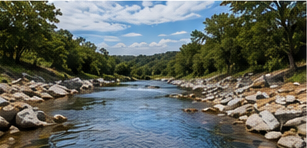
Hill Country creek and terrain mapped by topographic survey

Site Mapping

Why a Topographic Survey Comes First

A topographic survey captures the physical shape of a site — existing ground elevations, contour lines, drainage patterns, trees, structures, and visible utilities — using GPS/GNSS and total station fieldwork, often supplemented with drone LiDAR on larger or harder-to-access acreage. The result is a base map that shows exactly what's on the ground and how it slopes, not just where the boundary lines fall.

It's almost always the first deliverable on a new project, because everything downstream depends on it: grading and drainage design, floodplain evaluation, a subdivision layout, even a straightforward site plan all start from an accurate topo. Get a contour or a utility location wrong at this stage and the error compounds through every engineering decision that follows — which is why we treat it as foundational, not a formality.

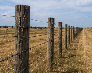
Ranch fence line marking a Hill Country property boundary

Field Marking

Boundary Line Staking, Explained

A boundary survey answers where your property line runs on paper — boundary line staking is what puts that line on the ground. Once corners are recovered or reset, our crews mark the boundary in the field with stakes, pins, lath, or flagging, so the line is visible to anyone walking the property, not just readable on a plat. It's often ordered right after a boundary or title survey, but works just as well as a standalone service when your corners are already of record.

Landowners typically call for it before installing a fence, clearing brush or timber, resolving a line question with a neighbor, or simply confirming where their property ends before they build. It's a small step compared to a full survey, but it's the one that turns a legal description into something you can actually see and build against.

Bridge over a Hill Country river, an example of public infrastructure

Development Explained

Private vs. Public Development, Explained

Private development is initiated and funded by an individual, builder, or company — subdivisions, commercial sites, ranches, and church campuses all fall under this umbrella. The owner selects their own engineer, surveyor, and contractor directly, design decisions are driven primarily by the owner's goals within whatever the county or city requires at permitting, and the project moves through standard plan review and, where applicable, platting.

Public development is funded and typically owned by a governmental entity — a city, county, school district, or an agency like TxDOT — using public funds such as bonds, taxes, or grants. Texas law generally requires competitive bidding for public works contracts, often with prevailing wage requirements, and the review process adds layers a private project doesn't see: public hearings, city council or commissioners court approval, and design standards set by the funding agency. That extra scrutiny is exactly why construction administration, careful documentation, and public accountability carry more weight on a public job — and it's part of why we keep our TxDOT prequalification current.

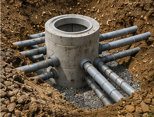
Precast utility vault installed underground during construction

Project Delivery

What Construction Administration Means for Your Project

Construction administration is the engineer's or surveyor's continued involvement once construction actually starts — not handing off a stamped plan set and walking away. It covers reviewing contractor submittals and shop drawings, responding to RFIs (requests for information) when field conditions don't match the plan exactly, making periodic site visits to observe that work is progressing consistent with the design intent, and coordinating any plan revisions or change orders that field conditions require.

The benefit shows up in what it prevents: discrepancies between plan and field get caught early, before they turn into expensive rework, and the owner, contractor, and regulatory agencies all stay working off the same current information. It also produces the documentation — inspection records, as-built verification, substantial completion certification — that lenders, buyers, and jurisdictions often require to close out a project. In short, it's what keeps a design on paper from drifting away from what actually gets built.

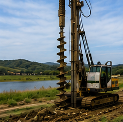
Geotechnical drill rig performing a subsurface boring near a river site

Geotechnical Engineering

Understanding the Need for a Geotechnical Report

A geotechnical report tells you what's actually beneath a site before anyone designs a foundation on top of it. Our engineers investigate subsurface conditions through soil borings or test pits, then classify what comes back in the lab — soil type, moisture content, groundwater depth, and bearing capacity. In the Hill Country, that almost always means accounting for thin caliche soils over karst limestone: expansive clays that swell and shrink with moisture, and voids or fractures in the underlying rock that a surface inspection would never catch.

Skipping that step doesn't make the soil problem go away — it just moves the discovery to after construction, when a cracked slab or a settling foundation is a lot more expensive to fix than a boring program would have been. Most lenders, building officials, and structural engineers require a geotechnical report before permitting for exactly this reason: it determines the right foundation type — slab-on-grade, pier-and-beam, or drilled piers — along with pavement sections, retaining wall design, and site grading, based on what the ground can actually support rather than an assumption.

Concrete test cylinder used to verify material strength

Materials Testing

The Importance of Density and Material Testing During Construction

A geotechnical report sets the target — density and material testing is how you confirm the project actually hit it. Compacted fill and subgrade have to reach a specified percentage of maximum dry density, established by a Proctor test, before a slab, foundation, or pavement section goes on top. Field density testing during grading and fill placement checks that compaction in real time, catching under-compacted areas while a compactor can still pass over them again — not after the slab is poured and a soft spot has already started to settle.

The same principle applies to the materials going into the structure itself: concrete cylinder breaks verify compressive strength, and field and lab testing confirm asphalt, aggregate base, and reinforcement placement meet the project specification. This is quality control in the most literal sense — it protects the owner from rework, premature pavement failure, or foundation movement down the road, and it produces the documented test records that lenders, inspectors, and warranty claims will eventually ask to see.

Have a project in mind?

Whatever stage you're at — early due diligence or ready to break ground — we'll help you scope the right next step.