Three Disciplines. One Firm.

Civil, survey, and geotechnical — under one roof

Wellborn keeps civil engineering, land surveying, and geotechnical engineering & materials testing in-house — so your project doesn't lose time or accuracy moving between consultants.

Aerial view of a Hill Country commercial site

Civil Engineering

Site design engineered for steep, karst-heavy Hill Country terrain, from first concept through construction-ready plans — for projects ranging from single-family subdivisions to schools, churches, medical facilities, and public infrastructure.


Land Development
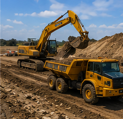
Excavator and dump truck grading a development site

Site plans, grading, and lot layout for single-family, multifamily, and commercial subdivisions, Manufactured Housing Rental Communities, churches, medical facilities, RV resorts, solar fields, and sports facilities — engineered to satisfy county and city review the first time through.

Drainage Analysis
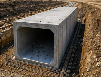
Precast box culvert being installed for storm drainage

Hydrologic and hydraulic studies for floodplains, storm water impoundments, culverts, and bridges — modeled in HEC-RAS and HEC-HMS and sized to Hill Country's flash-flood terrain, not a generic rainfall table.

Utility Infrastructure
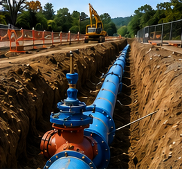
Utility pipeline installed in an open trench

Water supply, fire protection, storage tank, sanitary sewer, and reclaimed water distribution systems — designed and coordinated with the agencies that will ultimately maintain them.

Permitting & Regulatory Compliance
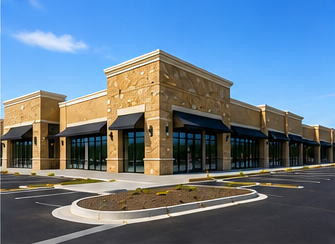
Completed commercial building following permitting and site approval

SWPPP preparation, TCEQ wastewater permitting, Certificate of Convenience and Necessity (CCN) filings, and city and county plan review coordination — so approvals don't stall your schedule.
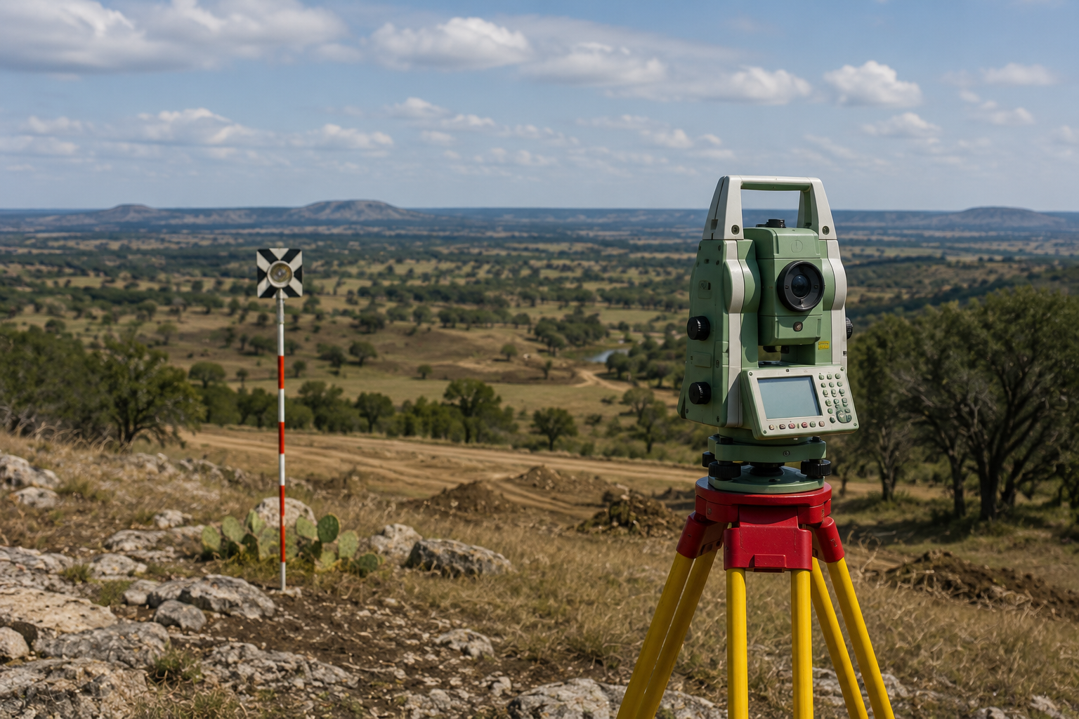
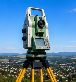
Total station and prism target set up on a Hill Country hilltop

Land Surveying

Field-verified survey work built on control that holds up under a title review, a construction schedule, or an adjoiner dispute — from initial boundary retracement through final elevation certificate.


Title Survey

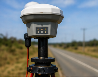
GNSS survey rover set up for a title survey

ALTA/NSPS and boundary title surveys built on recovered and reset monumentation and deed research — control that holds up under a title company's review or an adjoiner dispute.

Drone LiDAR & Photogrammetry

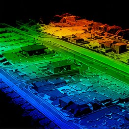
Colorized LiDAR point cloud scan of a residential area

Aerial LiDAR and photogrammetric mapping for fast, accurate topographic data across large or hard-to-reach sites, processed into deliverable surfaces and maps.

Construction Support

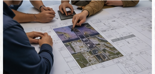
Team reviewing a site plan for construction staking

Construction staking, form board surveys, and as-built verification that keeps crews moving through every phase of construction.

Subdivision Platting

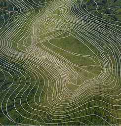
Topographic contour map used in subdivision plat design

Preliminary and final plat preparation, annexation documents, and zoning change support, from concept layout through final county or city approval.

Easements & Right-of-Way

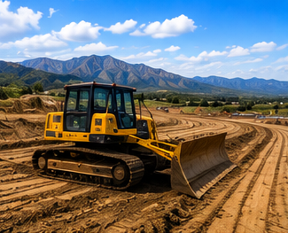
Roadway grading equipment along a property line

Separate instrument easement exhibits, right-of-way acquisitions and abandonments, and city-limits annexation and retracement surveys.

Elevation Certificates

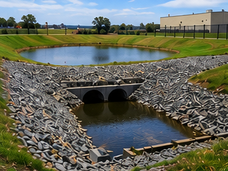
Stormwater detention pond and culvert near a floodplain

FEMA elevation certificates for flood insurance and floodplain compliance, prepared to match the standard your lender or insurer requires.

Topographic Survey

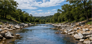
Hill Country creek and terrain mapped by topographic survey

Elevation, contour, drainage, and feature mapping — captured by GPS and total station, supplemented with drone LiDAR on larger sites — delivered as the base map your engineering design starts from.

Boundary Line Staking

Total station survey equipment used to mark boundary lines

Recovered corners and boundary lines marked in the field with stakes, pins, or flagging, so you can see exactly where your property lines run before you fence, clear, or build.

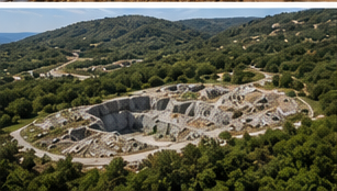
Aerial view of a limestone quarry in the Texas Hill Country

Geotechnical Engineering & Materials Testing

Subsurface answers before they become foundation problems — tailored to Hill Country's thin caliche soils and karst limestone.


Soils Report

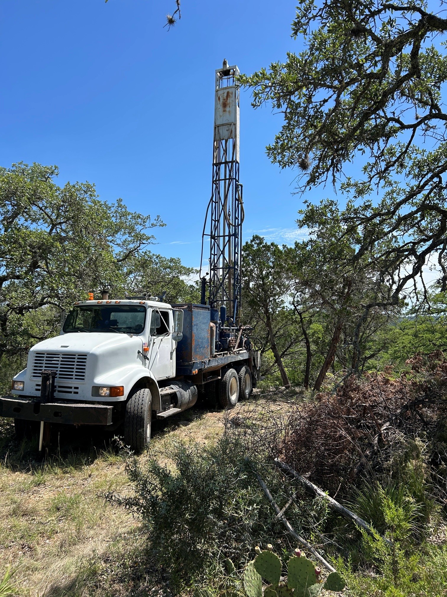
Geotechnical drill rig performing a subsurface boring in the Hill Country

Subsurface investigation and foundation design recommendations tailored to Hill Country's thin caliche soils and karst limestone.

Foundation Inspection

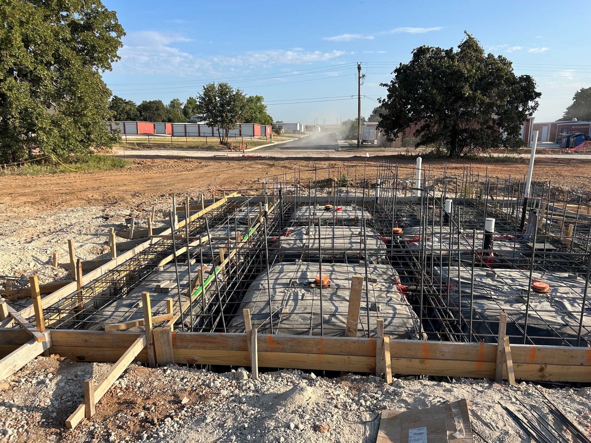
Foundation excavation with rebar and forms ready for inspection

On-site observation of excavations, forms, and reinforcement placement to confirm foundation work meets the geotechnical report's recommendations before concrete is poured.

Materials Testing

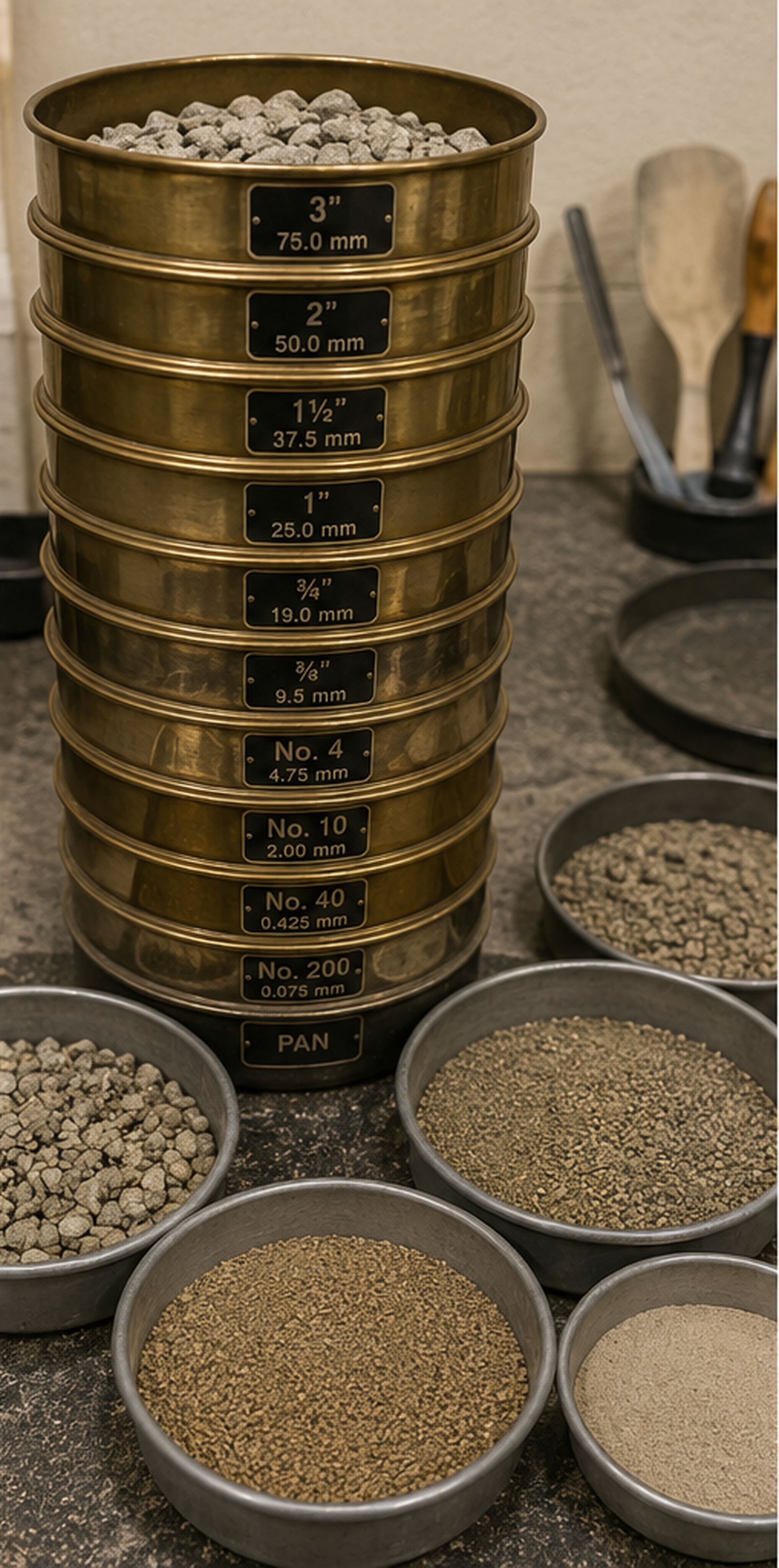
Aggregate sieve analysis used to verify materials quality

Field and lab testing of concrete, soil compaction, and asphalt to verify construction meets spec.

Not sure which service you need?

Tell us what you're building and where — we'll scope the right combination of survey, civil, and geotechnical work.